
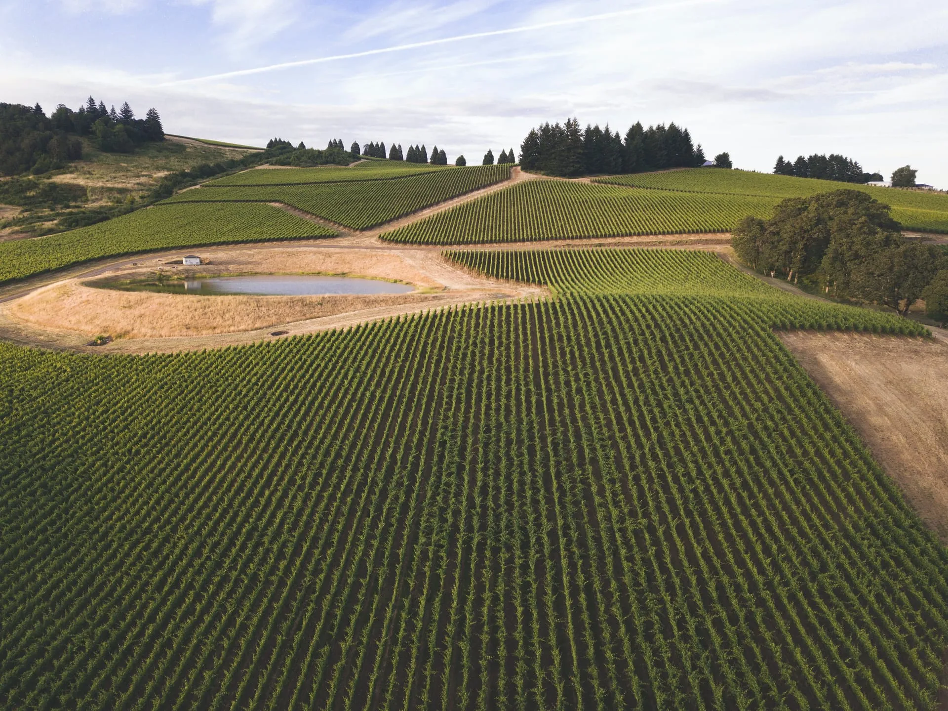
Vegetation maps
Zoning of vegetative vigour for targeted interventions and zone-differentiated harvesting.
Agrobit's drone service delivers a complete map of the health status of your crops — vigour, water stress, plant and gap counting, diseases and weeds — with ENAC-certified pilots across the whole territory. From the experimental plot to districts of hundreds of hectares.
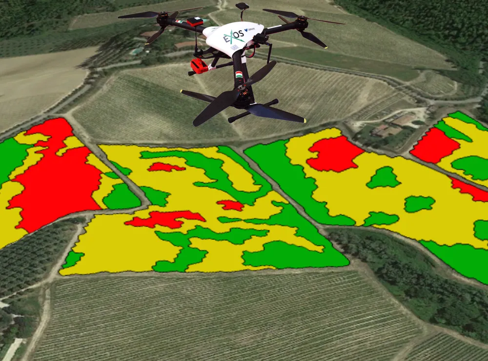
Photogrammetric flights and data processing to turn aerial images into agronomic maps ready to use.
Vegetation indices (NDVI, NDRE, OSAVI, GNDVI, TCARI) to capture health status and vigour, zone by zone.
Thermal surveys to identify areas under water stress and optimise irrigation.
Photogrammetric reconstructions and three-dimensional models of the field and the plants.
Maps for variable-rate treatments and fertilisation based on the data collected.
Distribution from above of plant protection products, fertilisers and beneficial insects with XAG drones.
RGB, multispectral and thermal cameras mounted on DJI drones for advanced surveys.
iDrone in numbers:
Drones available (RGB, multispectral and thermal)
Hectares mapped on woody, cereal and horticultural crops
Certified pilots active throughout Italy
Years of experience in drone data analysis
Every flight generates data ready to use: tap a card to see the details.
Zoning of vegetative vigour for targeted interventions and zone-differentiated harvesting.
Thermal surveys and CWSI index to identify areas under strain and optimise irrigation.
Treatments and distribution from above of plant protection products, fertilisers and beneficial insects with XAG drones.
3D models, orthophotos and plant counting from photogrammetric flights.
Maps for variable-rate treatments, sowing, harvesting and irrigation.
Photogrammetric processing and generation of maps, models and agronomic reports.
Share the coordinates or the details of the plots: we plan the optimal flight plan based on crop, season and objective of the survey.
ENAC-certified pilots carry out the flight with RGB, multispectral and thermal drones. For surfaces under 10 hectares, a few minutes are enough.
The images are processed with photogrammetry software and proprietary algorithms: orthomosaics, vegetation indices, 3D models and georeferenced thematic maps.
Within a few days you receive the maps in GIS format (GeoTIFF, shapefile) and an agronomic report, compatible with the main on-board terminals and management software.
We help you translate the maps into actions: differentiated fertilisation, zoning for selective harvesting, priority plots for treatments.
iDrone is Agrobit's aerial drone-survey service: vigour, water-stress, 3D-model and prescription maps, as well as the aerial distribution of plant protection products, fertilisers and beneficial insects, with ENAC-certified pilots across the whole territory.
DJI drones with RGB, multispectral and thermal cameras for the survey, and XAG drones for aerial distribution.
For surfaces under 10 hectares a few minutes are enough; the times increase in proportion to the extent of the plot, from the experimental plot to districts of hundreds of hectares.
You receive the maps in GIS format (GeoTIFF, shapefile) and an agronomic report, compatible with the main on-board terminals and management software. We also upload the maps in KML format on Google Maps, so you can consult them conveniently from your smartphone in the field too.
Yes, all flights are carried out by ENAC-certified Agrobit pilots (UAS operator).
Liquid, granular and powder plant protection products (fertilisers, seeds), as well as beneficial insects and mites for biocontrol (e.g. against red spider mite and grapevine moth), with variable-rate distribution too.
From the flight to data processing through to the maps: we take care of everything and deliver you guidance ready for the field.